Another World Heritage Site was our first destination today – Avebury, about 25 miles north of Stonehenge is another major site in this complex monumental landscape.
It is hard to get the overall scale of Avebury when you arrive, as a road still divides it into roughly four quarters of a huge circle. But once you get inside and look down into this huge henge’s surviving ditch the scale is truly astonishing. The bank outside the original 14m wide ditch was originally 17m from top to bottom and has a perimeter of more than half a mile. Even after years of silting up it is still stupendous.
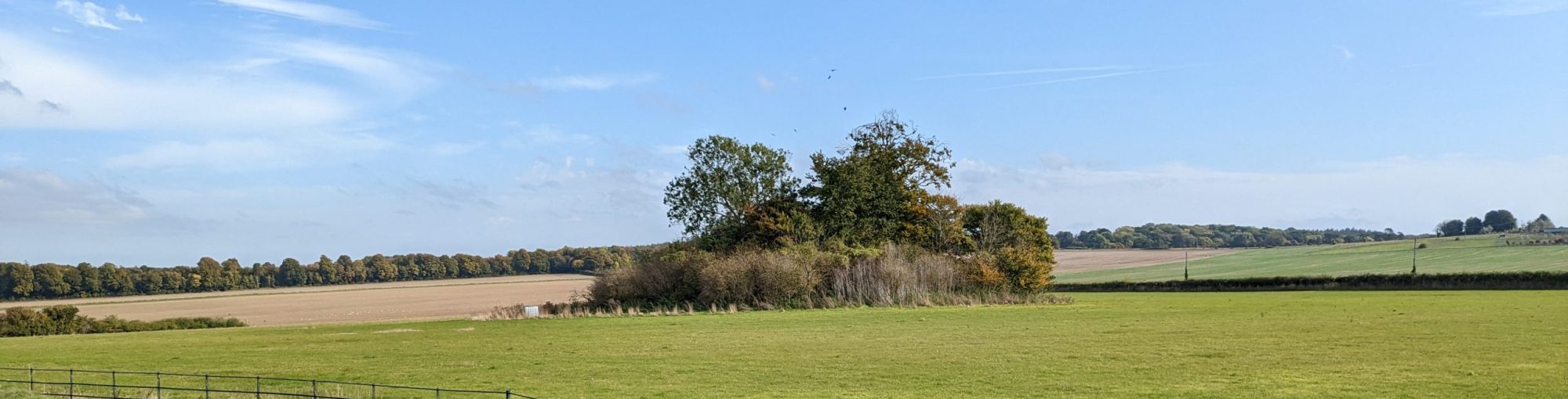
We were there early, so had the pleasure of walking peacefully through the site where enough of the massive stones are still standing round the edge to give you a sense of what it might have looked like.
Some experts have noted that the stones seem to go two by two, with diamond shaped ‘female’ monoliths paired with more phallic ‘male’ ones. But who knows…

Again, like Durrington Walls, there are two internal stone circles, with other structures at their centre, one of which had a much larger central stone (as evidenced by the hole it had left). The dating shows that it was built at roughly the same time as Durrington too in the period 2900-2600BC. From the southern entrance a double avenue of standing stones originally ran for 1.5miles to several circular wooden buildings not unlike Woodhenge called the Sanctuary. I found this great image of what it might have looked like.

From the west another avenue which once contained about 200 stones (only one of which survives) ran for more than a mile. This place was clearly visible in its landscape.
As we looked round we realised that our Organiser was in a state of Mild Panic. When she went to check the lunch arrangements she had discovered that all power was down in the area. The Red Lion had managed to activate a generator – but unfortunately the English Heritage toilets had been rendered Out Of Action and the Alexander Keiller Museum (honouring the work of the marmalade magnate who had explored the site and eventually left it to the nation) could not be twisted open.
St James’s church proved easier to access. Built just north of the ditch of the henge around 1000AD it still has it tall narrow Saxon nave. There were four unusual Saxon porthole windows at the second floor level with the holes for securing a wicker shutter still evident.

There was also a rood loft separating the chancel from the nave. The base is Victorian but the rest is from the 15th century. When it was in danger of destruction during the reformation it was carefully hidden behind a false wall by parishioners and only rediscovered by accident in 1810.

The final Saxon piece is the tub font, although the carving that runs round it is probably 12th century. It shows Christ defeating a pair of dragons, representing sin and evil.

With that heartening evidence, it was time for lunch.

Suitably fortified, it was time to explore the rest of this historic landscape. Taking a thousand year dive further back to 3700BC, our destination was West Kennet Long Barrow, the resting place for the family bones of the first farmers in this area. They marked out their territory with large and visible funerary monuments. As you approach you can see the barrow which is 25m wide and stretches for 104m high up on the crest of a NE facing slope. It disappears as you climb the hill towards it but at the top there are stunning views in all directions.

The skylarks were singing here too.
The barrow was excavated in the 1950s and made safe, so it is still possible to enter and see the chambers to right and left built from sarsen slabs, and the larger chamber at the end of the passage.

The remains of 46 individuals were recovered. People are still leaving votive offerings today.

The barrow contained a mix of bones and cremations and pottery styles spanning a long time period, as much as 1000 years. It had clearly been used by many people moving into the territory of the original farmers before it was ritually blocked with rubble and blocking sarsen boulders.
The man-made conical mound of Silbury Hill, also dating to about 2400 BC just as the first farmers were facing the incoming magic of the metalworkers, sits in the valley below across from the Kennet river. None of the research done on this site has really worked out what it was for. Maybe it was just to show you could build such a mammoth structure. It seems to have built up over time with a series of repeated mounds of turf and chalk and clay excavated from the surrounding ditch, which turns into a moat when it floods. The latest levels seem to date to 2000BC when the new metal technology was definitely replacing stone.

Back at Salisbury’s Red Lion that evening, Scott McCracken tried to draw together for us all the complex strands of these interlinking monumental landscapes. To have so many henges built at a similar time in the same area (we haven’t even mentioned Marden Henge, shown below, which may actually be the biggest – but with less left to see). This sits 12 miles south of Avebury and a further 12 miles south is Stonehenge itself.

Large populations must have been gathering in this landscape to claim their territory and compete for visibility, perhaps as a sign of the pressure that these societies were under at this time. And how tremendous that we can still see the results of their efforts today.
